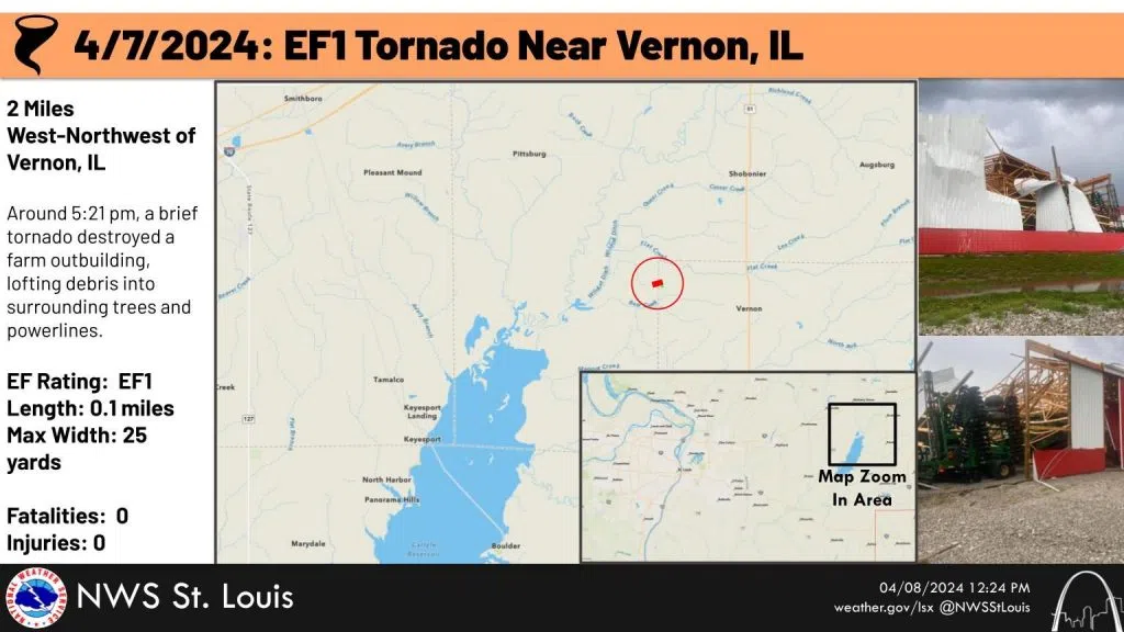
The National Weather Service in St. Louis has confirmed an EF1 tornado with a top wind speed of 90 miles per hour in a severe weather system that moved over Southern Fayette and North Marion County early Sunday night.
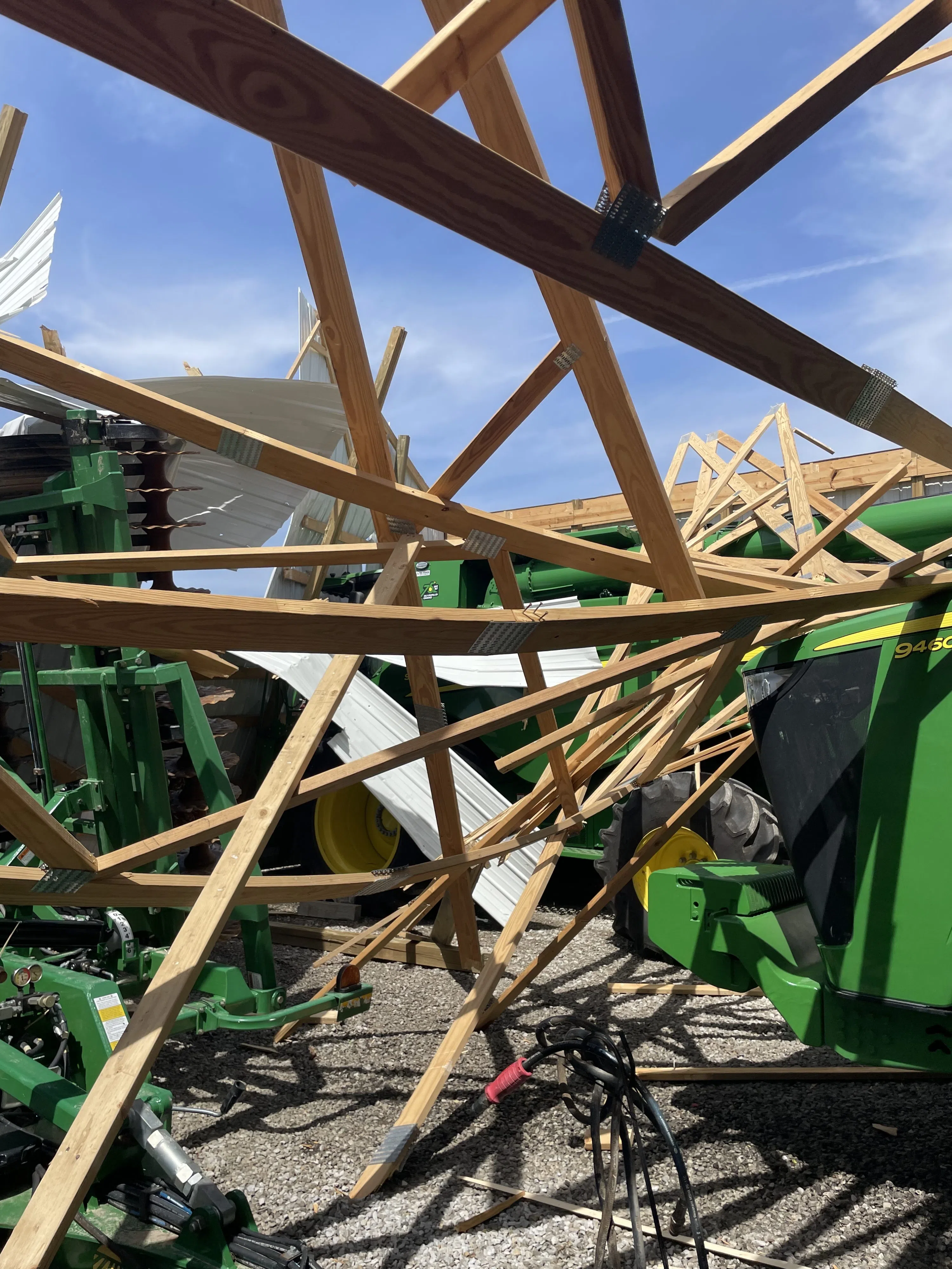
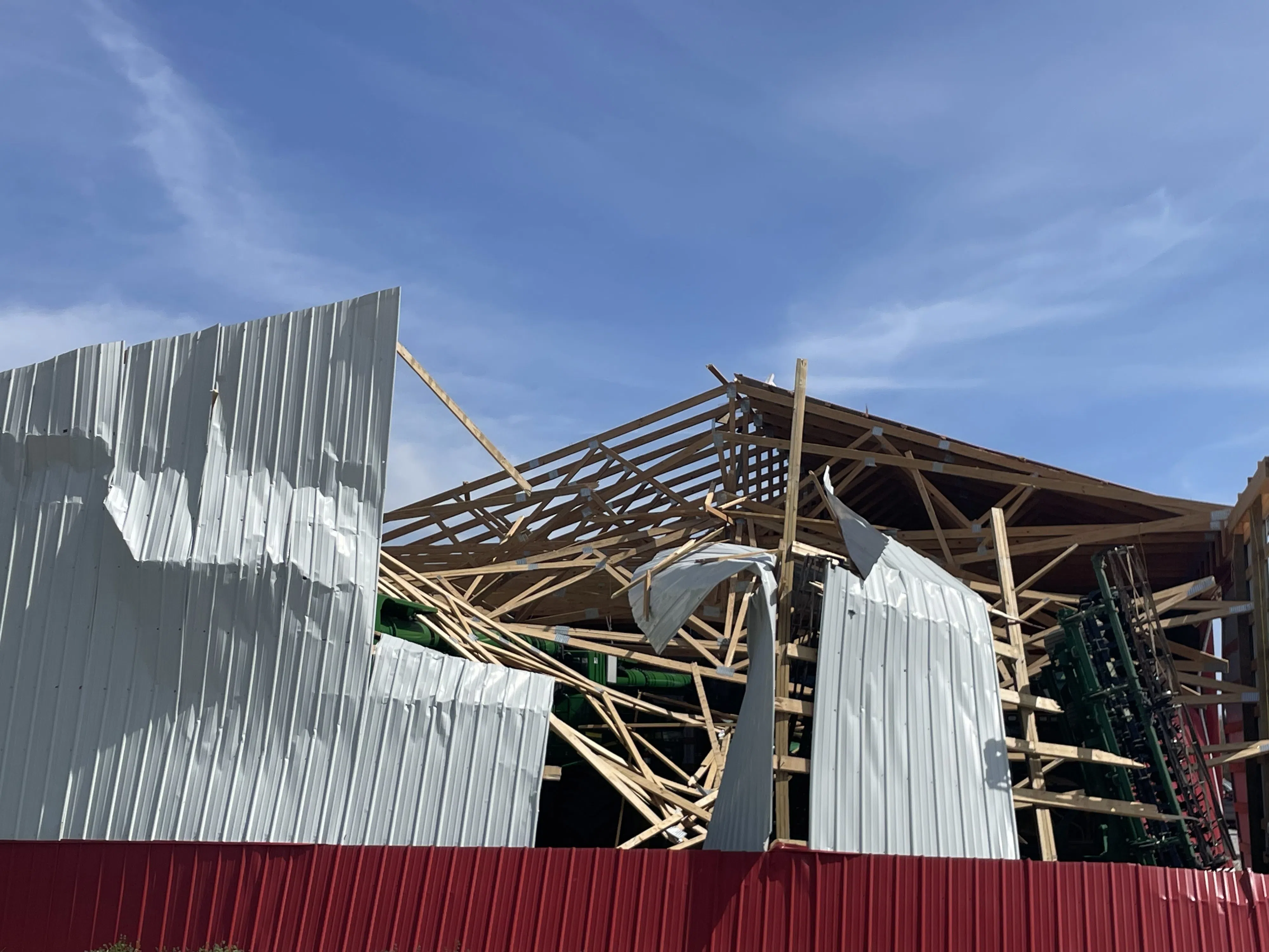
The weather service at this point is considering this a ‘short track’ tornado that was only a tenth of a mile long and 25 yards wide. The tornado heavily damaged one machine shed on the Mark Payne property two miles west-northwest of Vernon on Davis Road in the very northwestern corner of Marion County.
“It sounded like a freight train for two or three seconds give or take. Then it was gone. The structural damage to the shed I’m sure is a total loss.”
In addition, the tornado damaged a portion of the roof of Payne’s home that he feels will most likely have to get a new roof.
The area was under a tornado warning at the time the storm hit, but Payne estimated they only had about eight seconds between the warning on his phone and the tornado’s arrival. He didn’t see the storm but his neighbor did.
“It did rain so hard you couldn’t see. It was in sheets. He did see it touch down and come back up. He lives about a half mile north of me.”
There was also hail as large as one inch in diameter. The storm moved through at 5:21 Sunday evening.
Forbes State Park near Omega recorded around four inches of rain as the storm moved through. The same line of storms resulted in pea-sized hail and extremely heavy rains in other parts of Marion County. The Salem Water Plant recorded 1.05 inches of rain and the Centralia Water Plant 1.08 inches of rain. One gate of Raccoon Lake was open one foot Monday morning to get rid of excess water.
Skillet Fork and its tributaries in eastern Marion County are out of their banks and low-lying roads that normally flood were underwater Monday morning.

A close-up of some of the tornado damage. Photo by Mark Payne.


