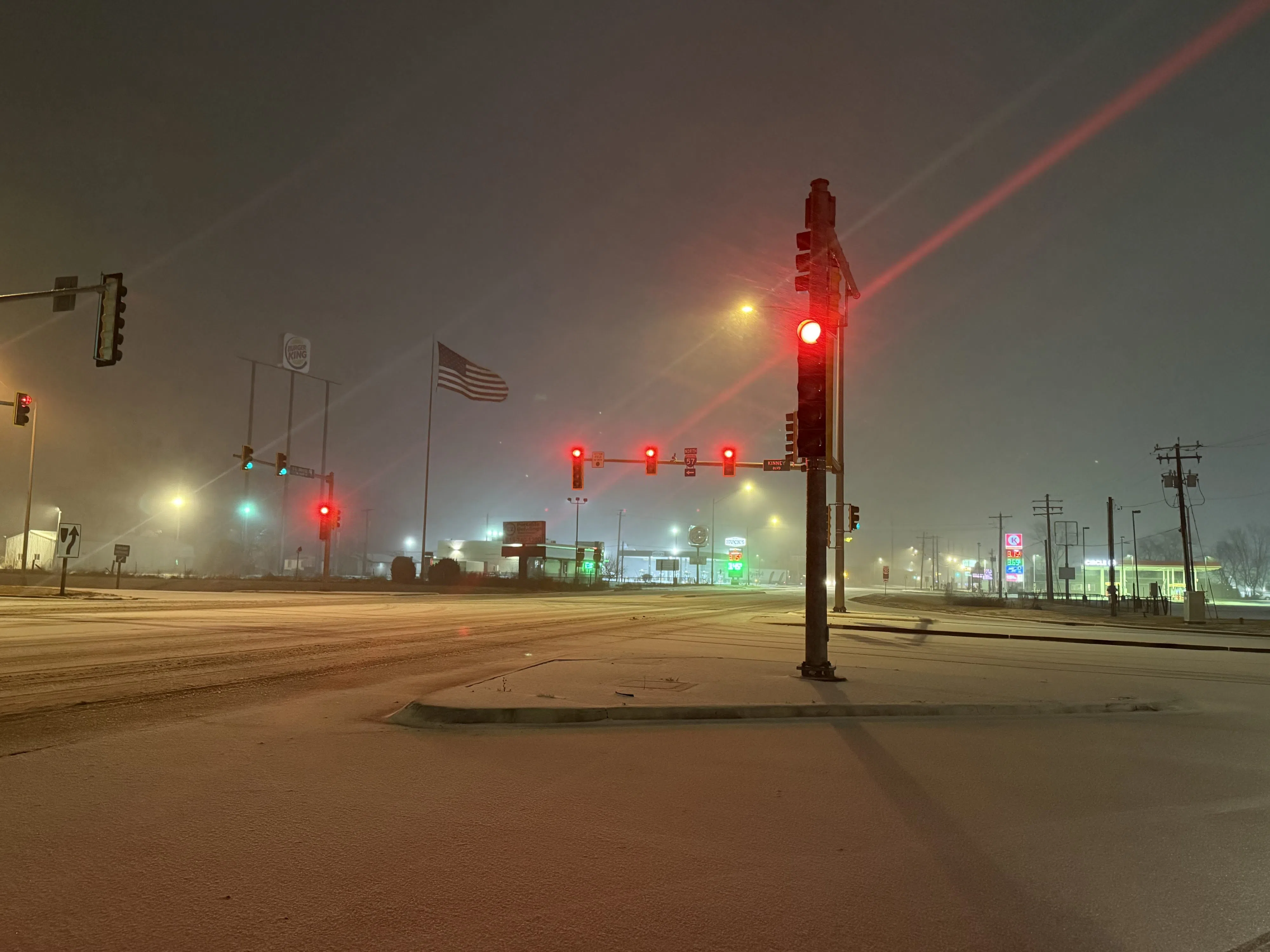
The National Weather Service has issued a winter storm watch for late Monday night through late Tuesday night. The weather service says between five and ten inches of snow is possible across portions of South Central and South Western Illinois as well as Southeast Missouri.
Travel could be very difficult to impossible. The hazardous conditions could impact the Tuesday morning and evening commutes.
There is a 20 percent chance of snow Monday and Monday evening before the main part of the storm arrives on Tuesday with a 50-percent chance of snow. There is a 70-percent chance of snow continuing Tuesday night before the snow exits on Wednesday.
Cold temperatures are expected during the work week, with a high of just 22 degrees on Monday and 17 degrees on Tuesday, Wednesday, and Thursday. Lows of eleven degrees are forecast for Monday and Tuesday night before the temperature drops to four degrees on Wednesday and Thursday night.
Meanwhile, the early Sunday morning snow resulted in three-tenths of an inch on the ground at the Salem Water Plant and a quarter inch at the Centralia Water Treatment Plant. An additional 7/10ths of an inch of rain fell in the 24-hour period ending at seven Sunday morning at the Salem Water Plant for a two-day total of 1.55 inches of rain. At the Centralia Water Plant, there was 55/100ths of an inch of melted precipitation for the 24 hour period ending at seven Sunday morning and an even inch on the Saturday morning reading. One gate of Raccoon Lake was open to get rid of excess water.
