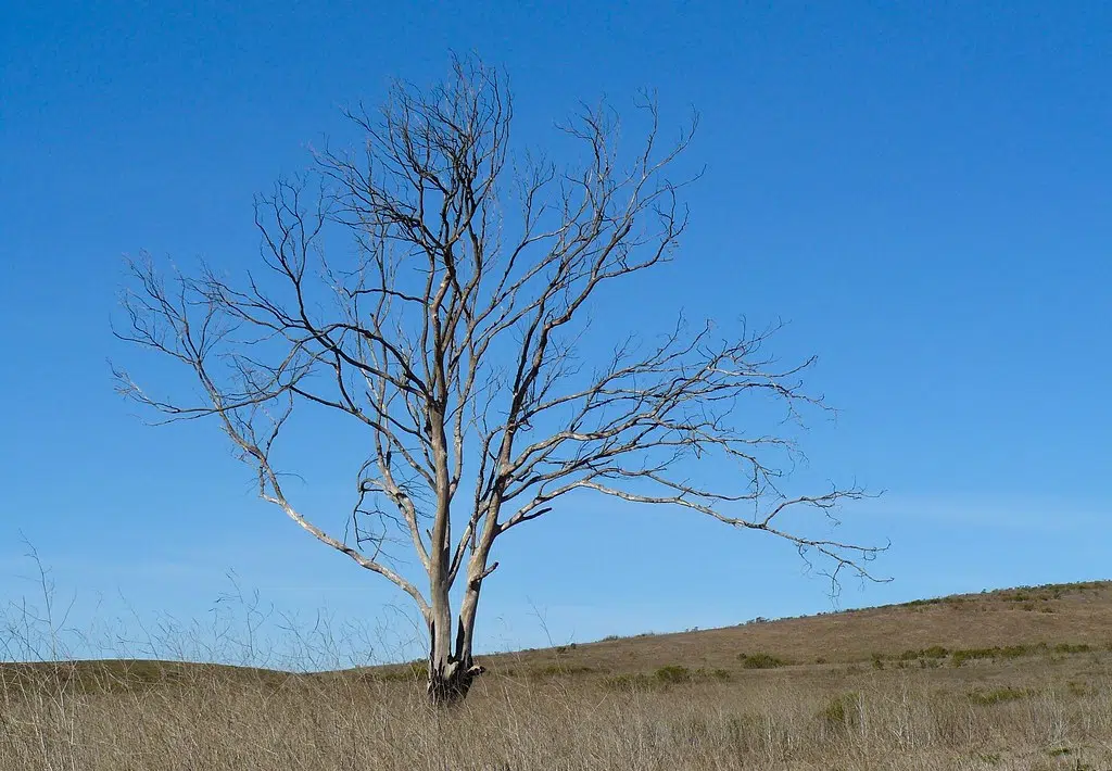
More than 66 percent of the state is still dealing with drought conditions including all of Marion County, but some areas are starting to improve.
According to the latest US drought monitor, the extreme drought in spots of Pike and Adams Counties lessened along the Mississippi River north of St. Louis, but western Illinois and the far northern and southern borders of the state remain in a severe drought. All of south-central Illinois is listed as moderate drought except parts of eastern Clay and Wayne Counties that are listed as abnormally dry.
Not much rain fell this past week north of I-70 except for in McClean and Vermillion Counties in the central part of the state, but deep southern Illinois got plenty says state climatologist Trent Ford.
Ford says, “A series of draining thunderstorms moved through southern Illinois and western Kentucky on Wednesday and Thursday, producing very heavy rainfall and flash flooding across the region. The Illinois Climate Network Station (Polk County) recorded rainfall rates of half an inch in just five minutes. One day totals exceeded eight inches in a few spots in Johnson and Pulaski Counties.”
Then on Thursday, some more isolated heavy and sometimes severe storms hit the Metro-east and Clinton County. One to two inches of rain fell in a large part of Clinton County. The Centralia water plant recorded 1.58 inches of rain. But the storm didn’t make it to most of Marion County. The Salem Water Department reported just a trace of rain.
Ford says so far, July has been one to two degrees below normal. That’s supposed to change next week when temperatures climb into the 90s and heat indices reach triple digits.


